Couldn't load pickup availability
* = £1.79 VAT | ¹ = Estimated currency conversion, you will be charged in GBP
Regular price
£8.96 GBP
£10.75 GBP
Regular price
£11.95 GBP
£14.34 GBP
Sale price
£8.96 GBP
£10.75 GBP
Unit price
per
€10.26 EUR¹
$12.08 USD¹
€12.31 EUR
$14.5USD
View full details
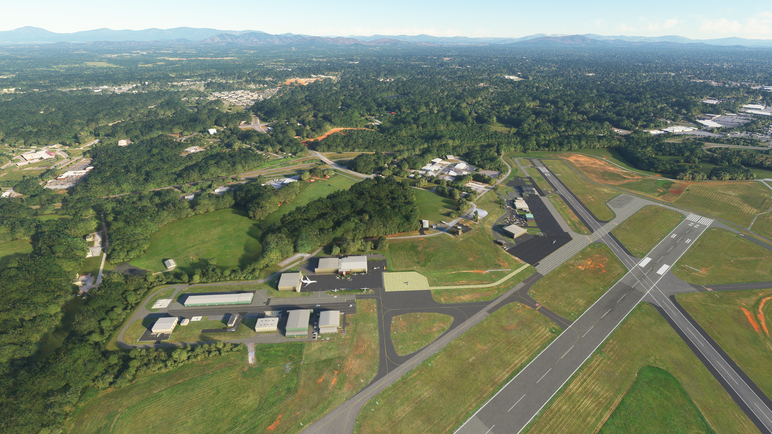
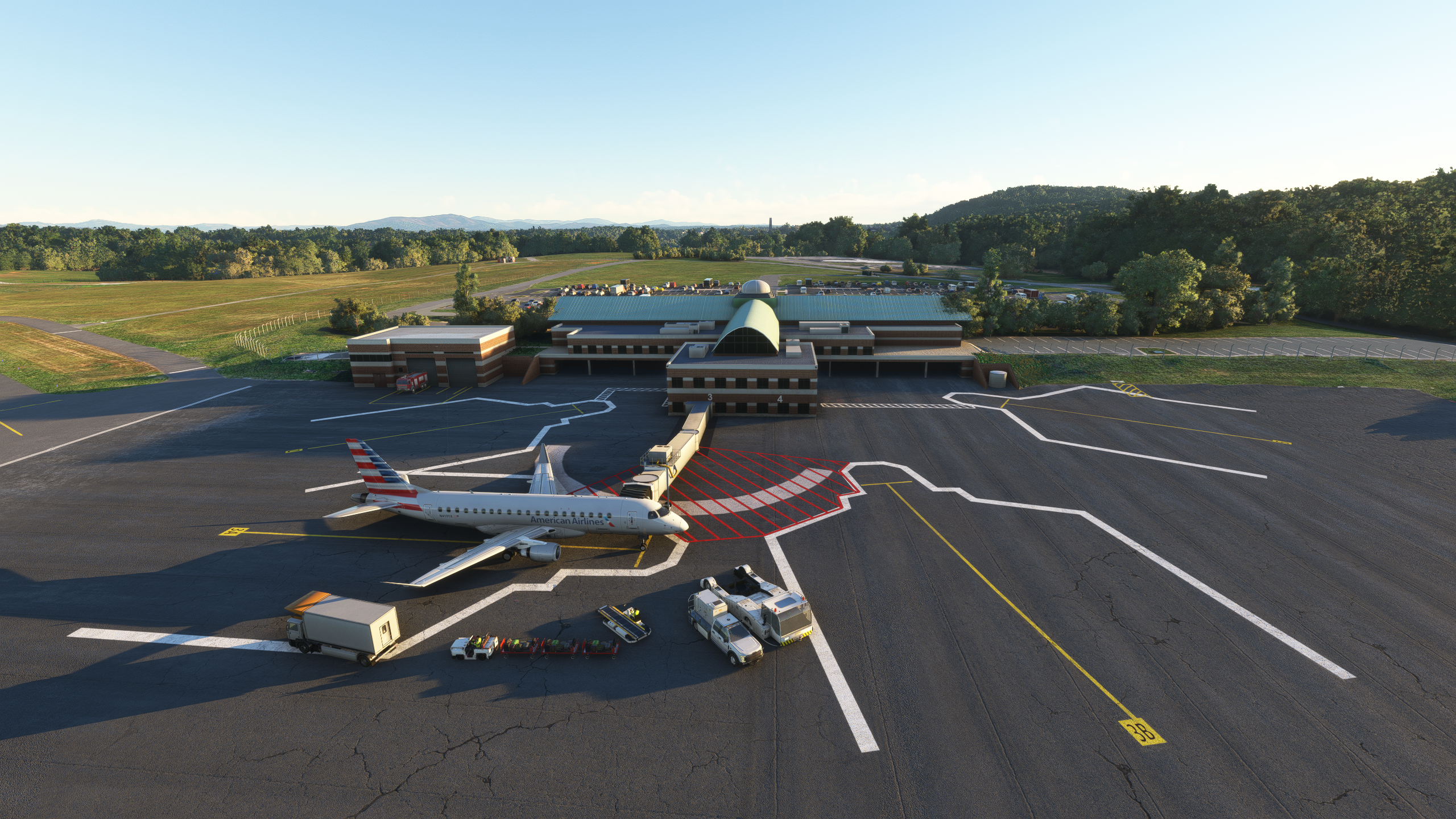
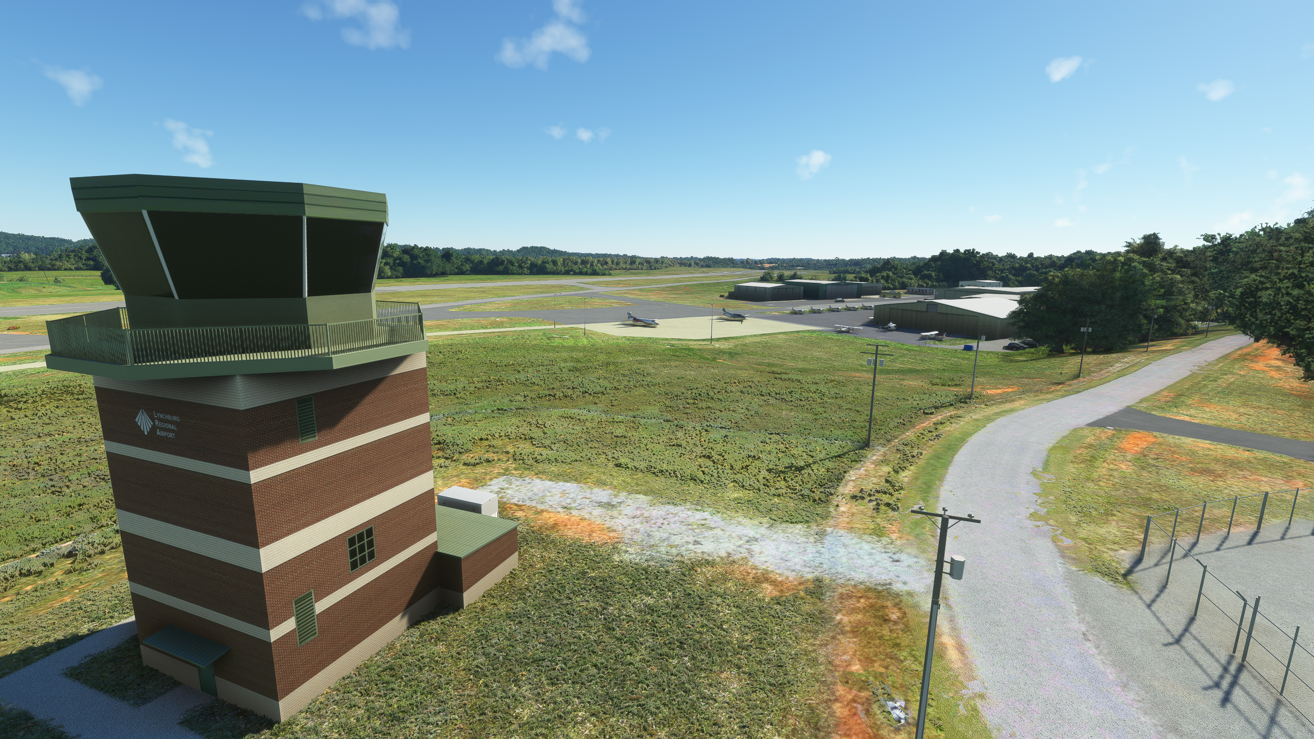
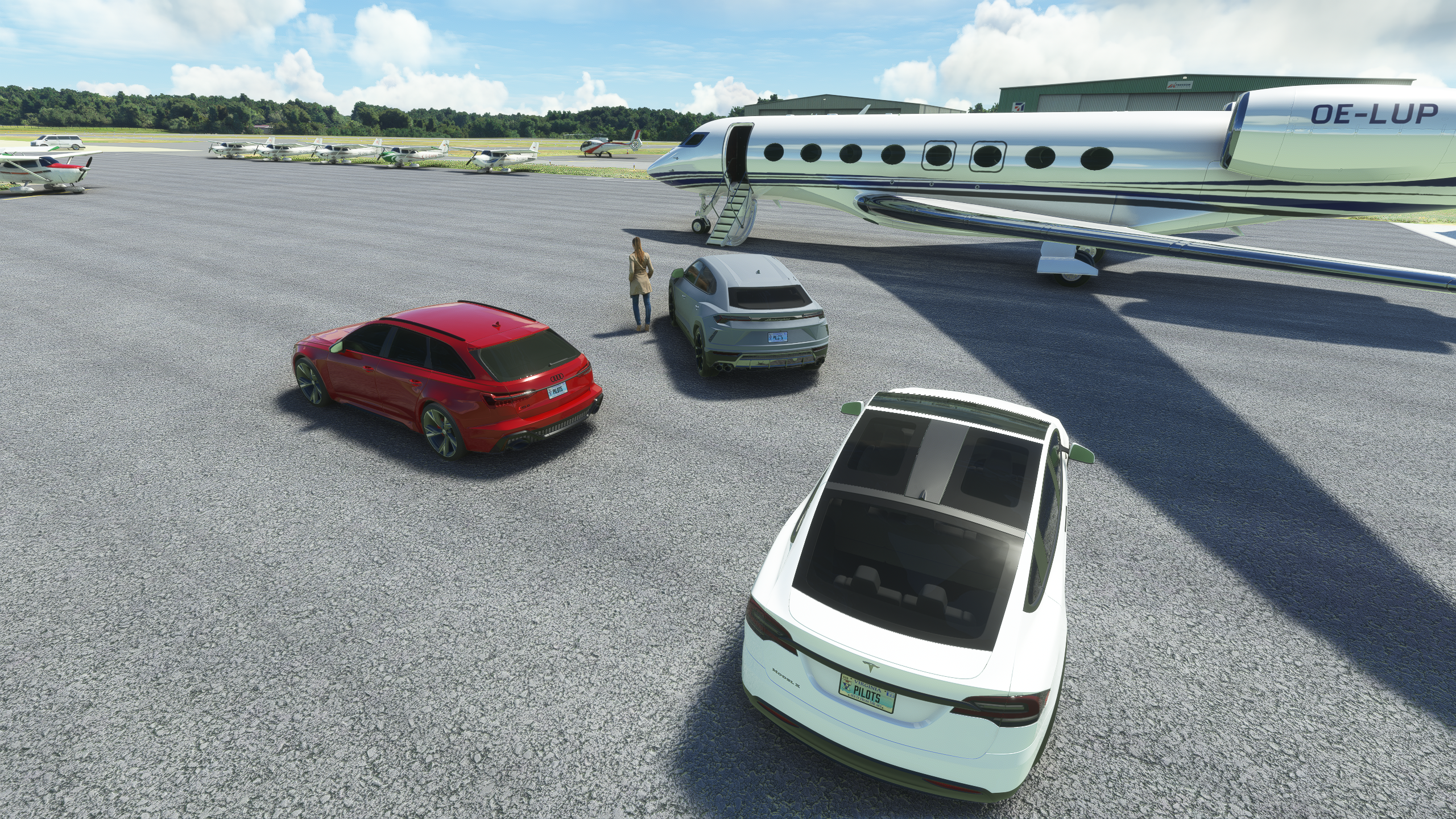
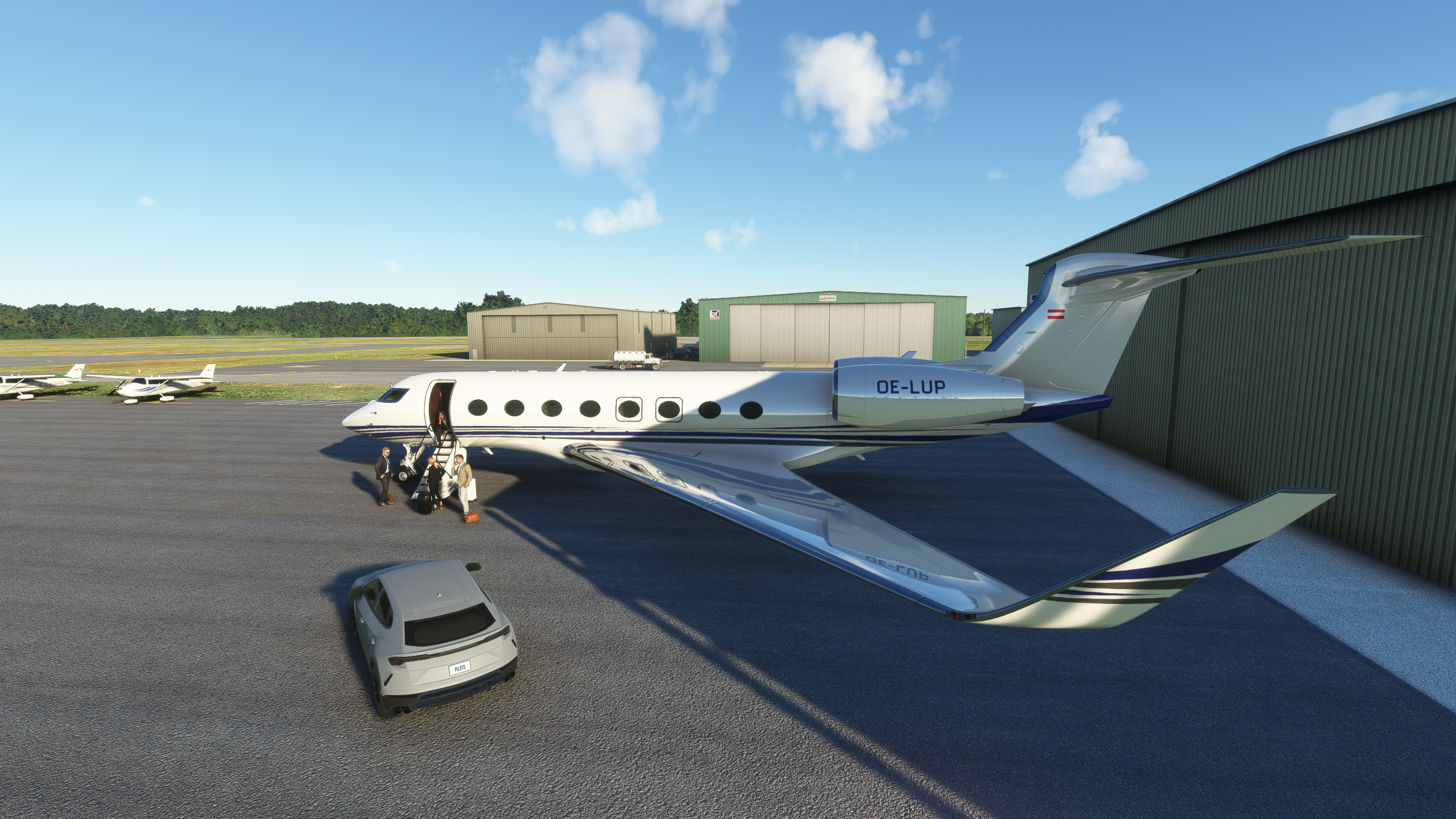
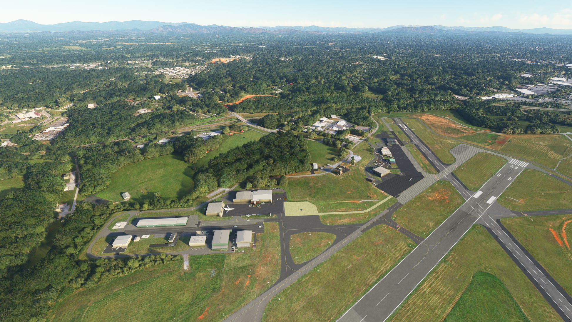
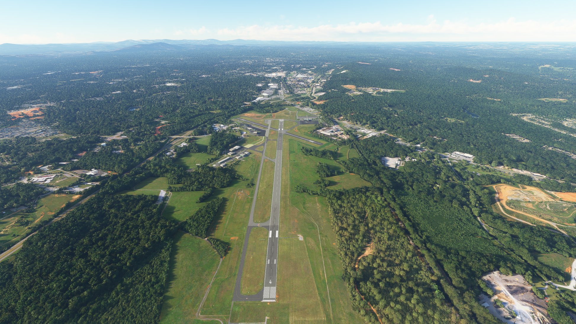
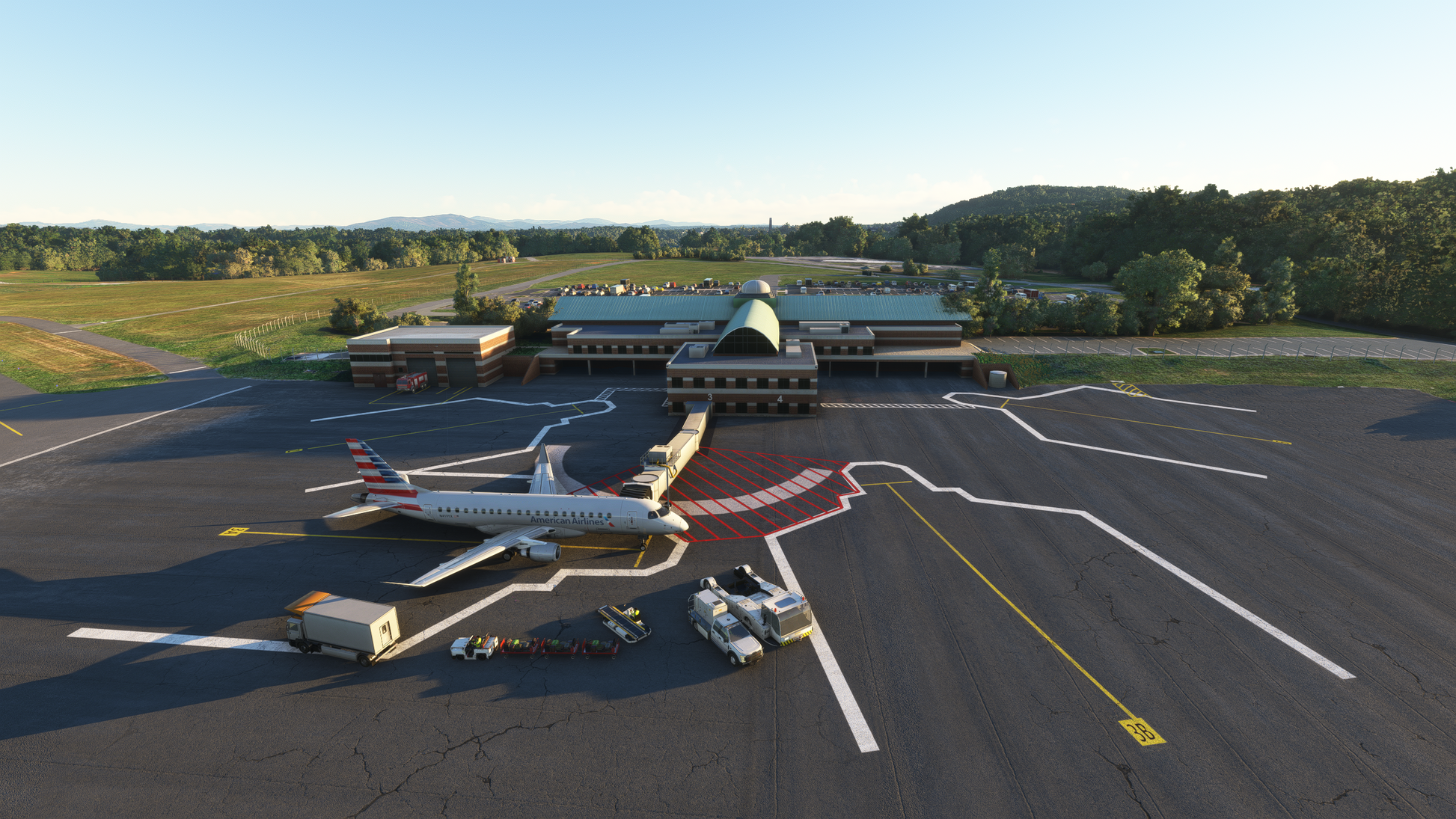
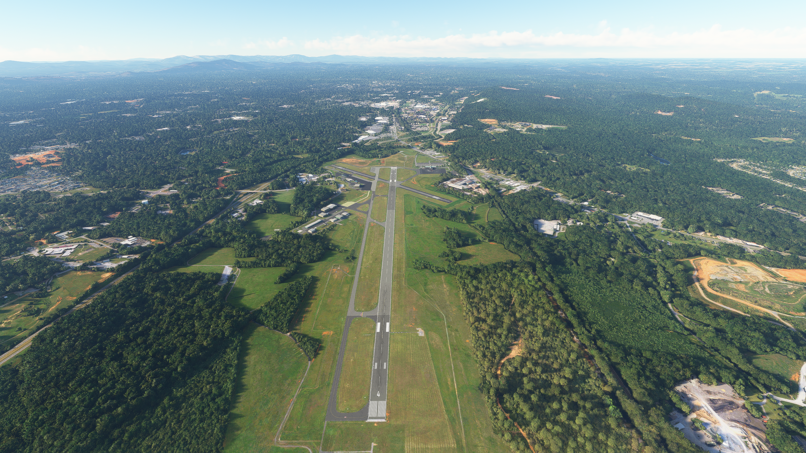
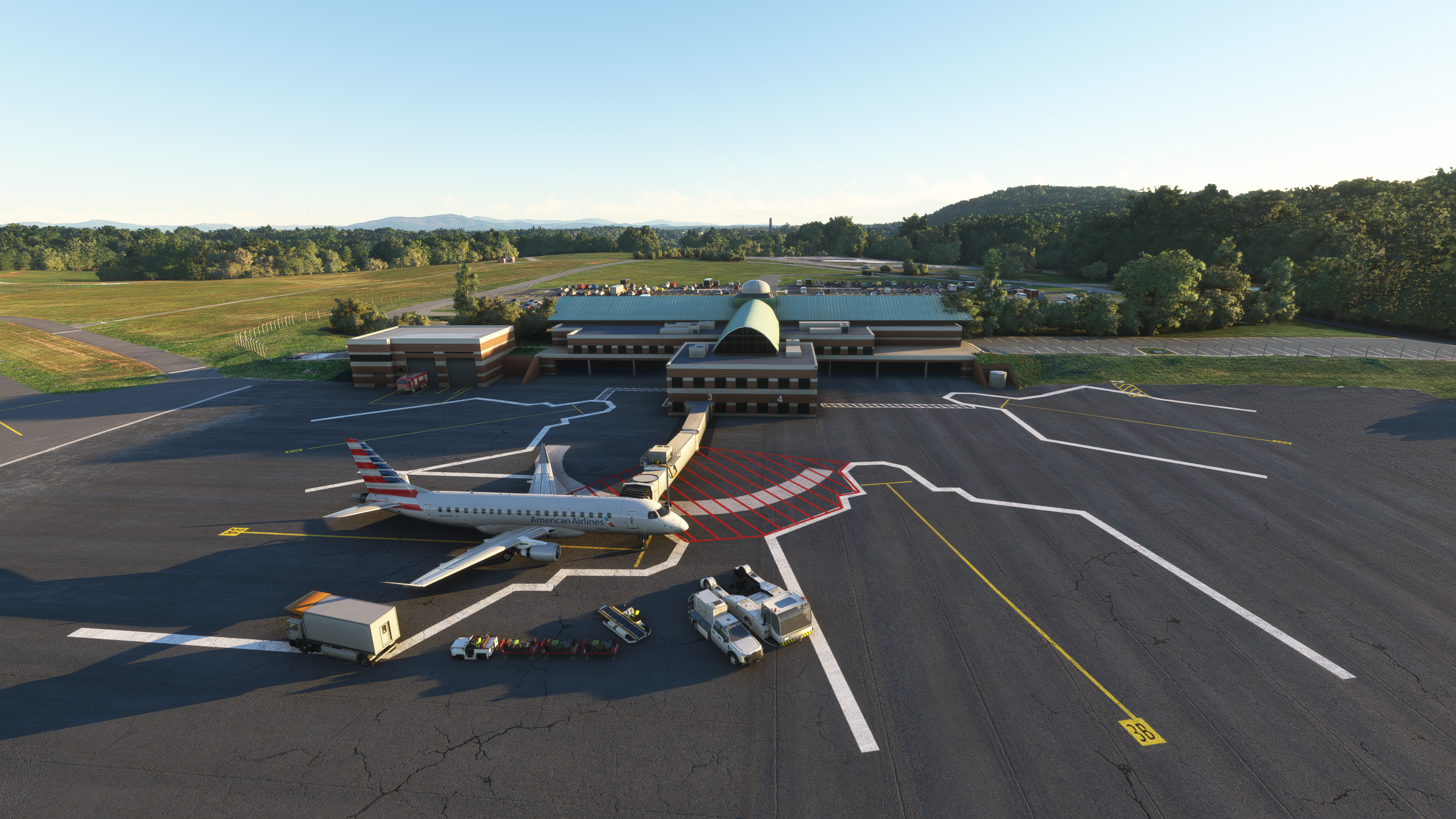
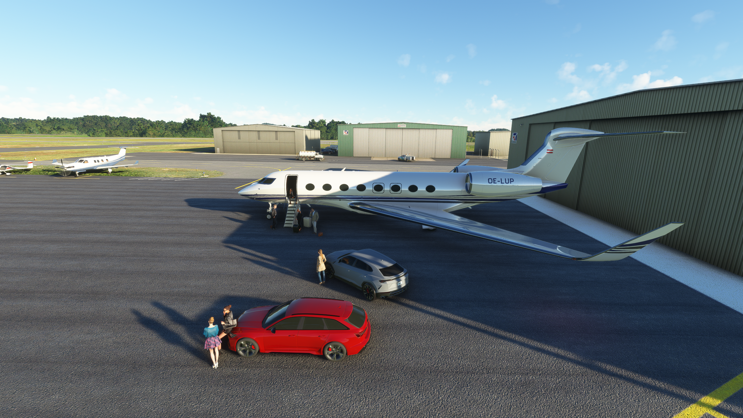
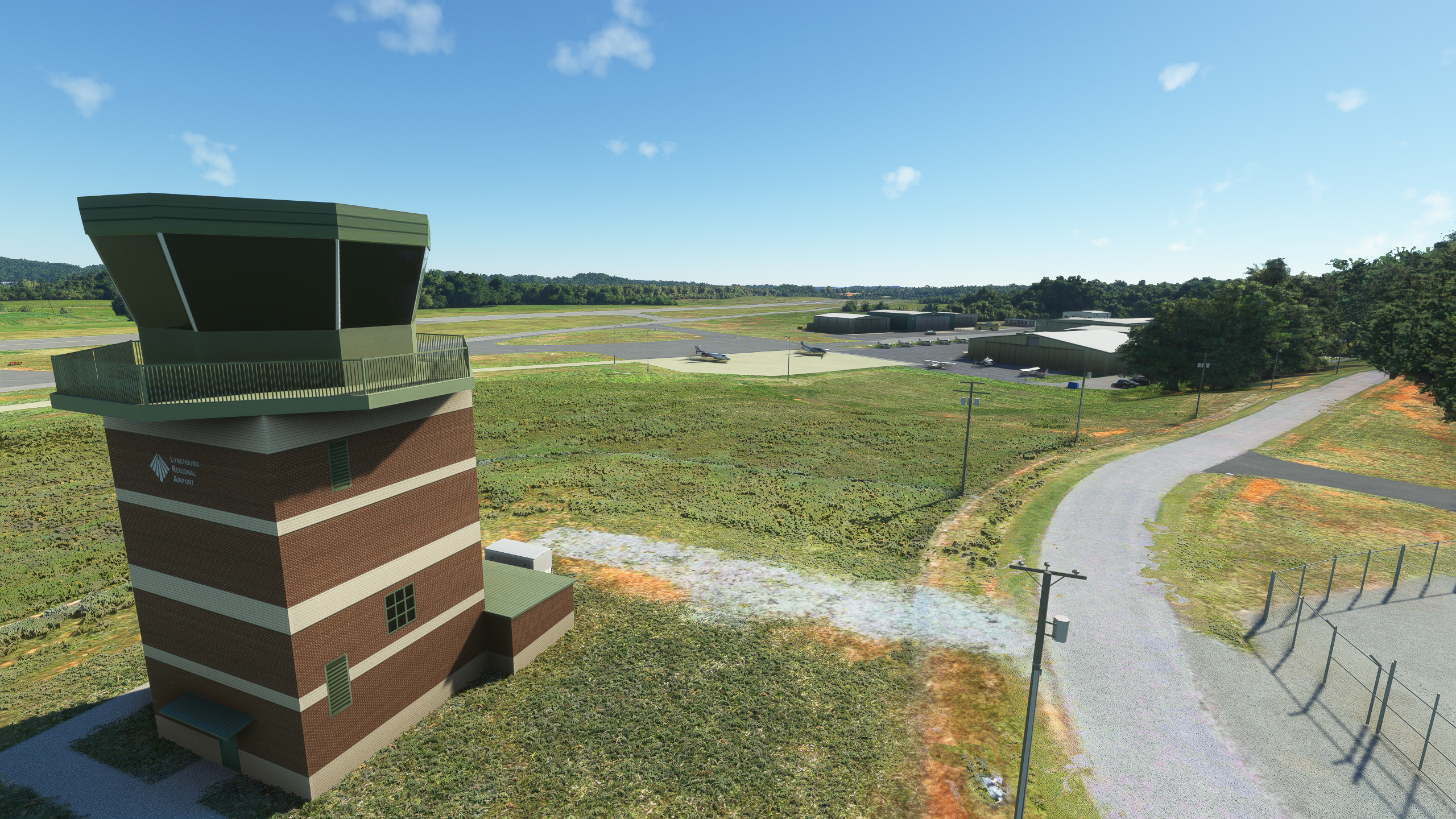
Located at the intersection of Route 29 South and Route 460, roughly 9 km SW of W24 Falwell Airport (W24) in Virginia, USA, and also 9 km from Lynchburg’s famous downtown Diamond Hill Historic District, Lynchburg Regional Airport is a public use airport in Campbell County, Virginia, USA. Lynchburg Regional Airport first opened in 1931 as Preston Glenn Field Airport in honour of Lieutenant Preston Glenn, a Lynchburg aviator who lost his life while serving in World War I as an Army Air Corps pilot. Although the airport has a heavy focus on general aviation (GA), it is also served by Piedmont, a commercial airline flying on behalf of American Airlines with an Embraer ERJ-145 and PSA Airlines, a commercial airline also flying on behalf of American Airlines with a Canadair Regional Jet (CRJ) aircraft to Charlotte Douglas International Airport in Charlotte, North Carolina.
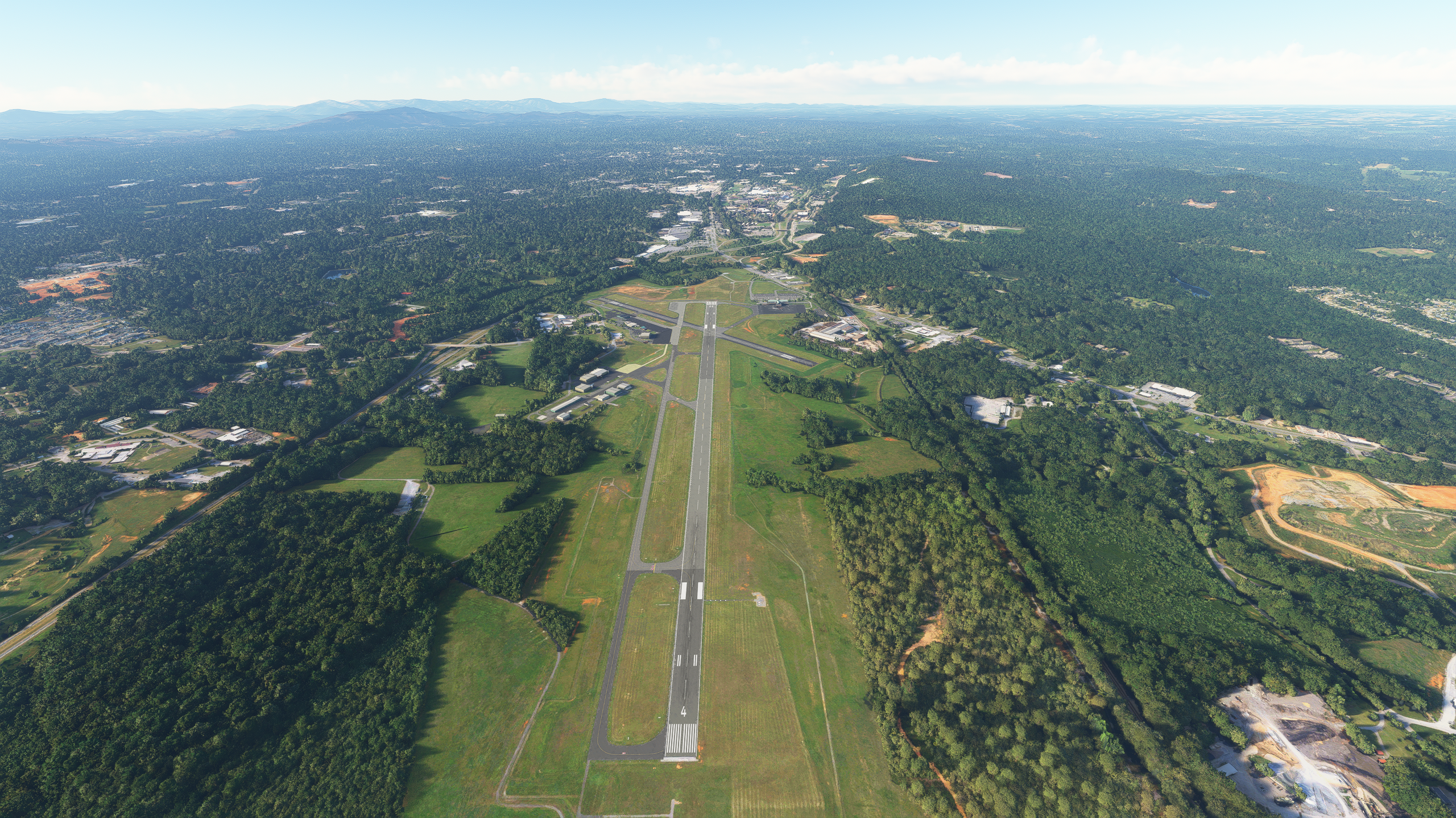
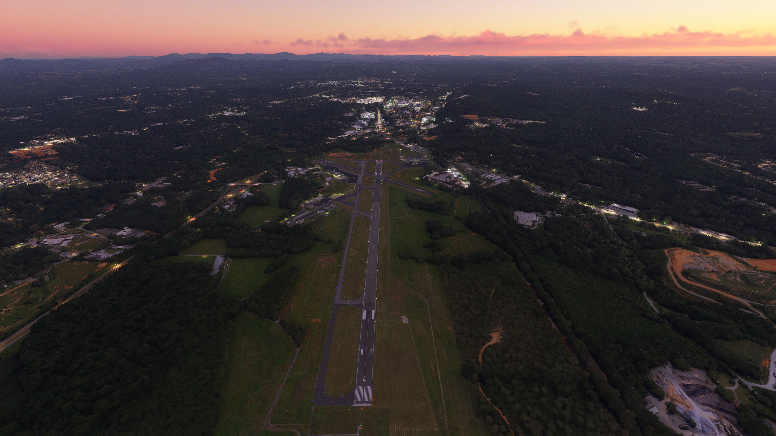
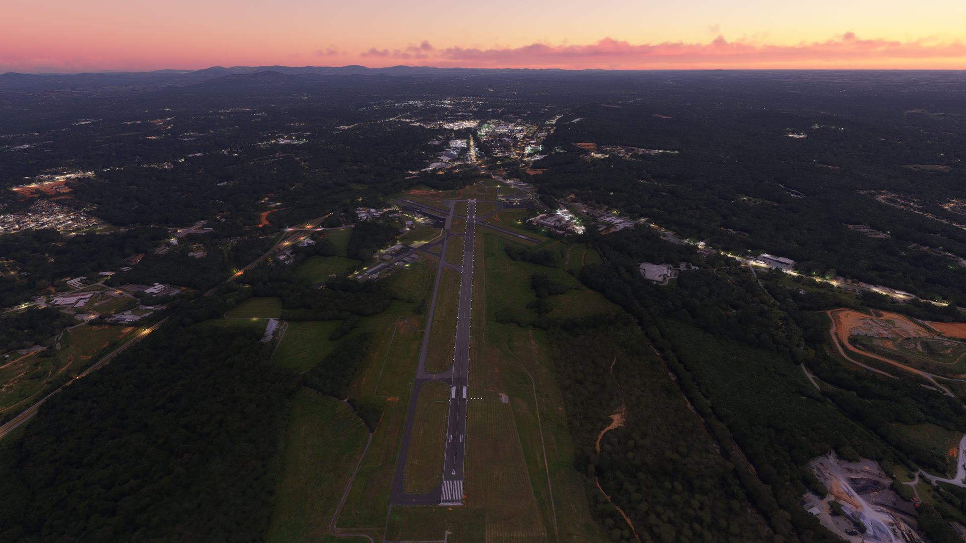
Lynchburg Regional Airport features two runways, one paved 2164 x 46 metre (7100 x 150 ft) asphalt runway designated RWY 4 / RWY 22, and a shorter paved 1032 x 23 metre (3386 x 75 ft) asphalt runway designated RWY 17 / RWY 35.
Lynchburg Regional Airport features two runways, one paved 2164 x 46 metre (7100 x 150 ft) asphalt runway designated RWY 4 / RWY 22, and a shorter paved 1032 x 23 metre (3386 x 75 ft) asphalt runway designated RWY 17 / RWY 35.
KEY FEATURES
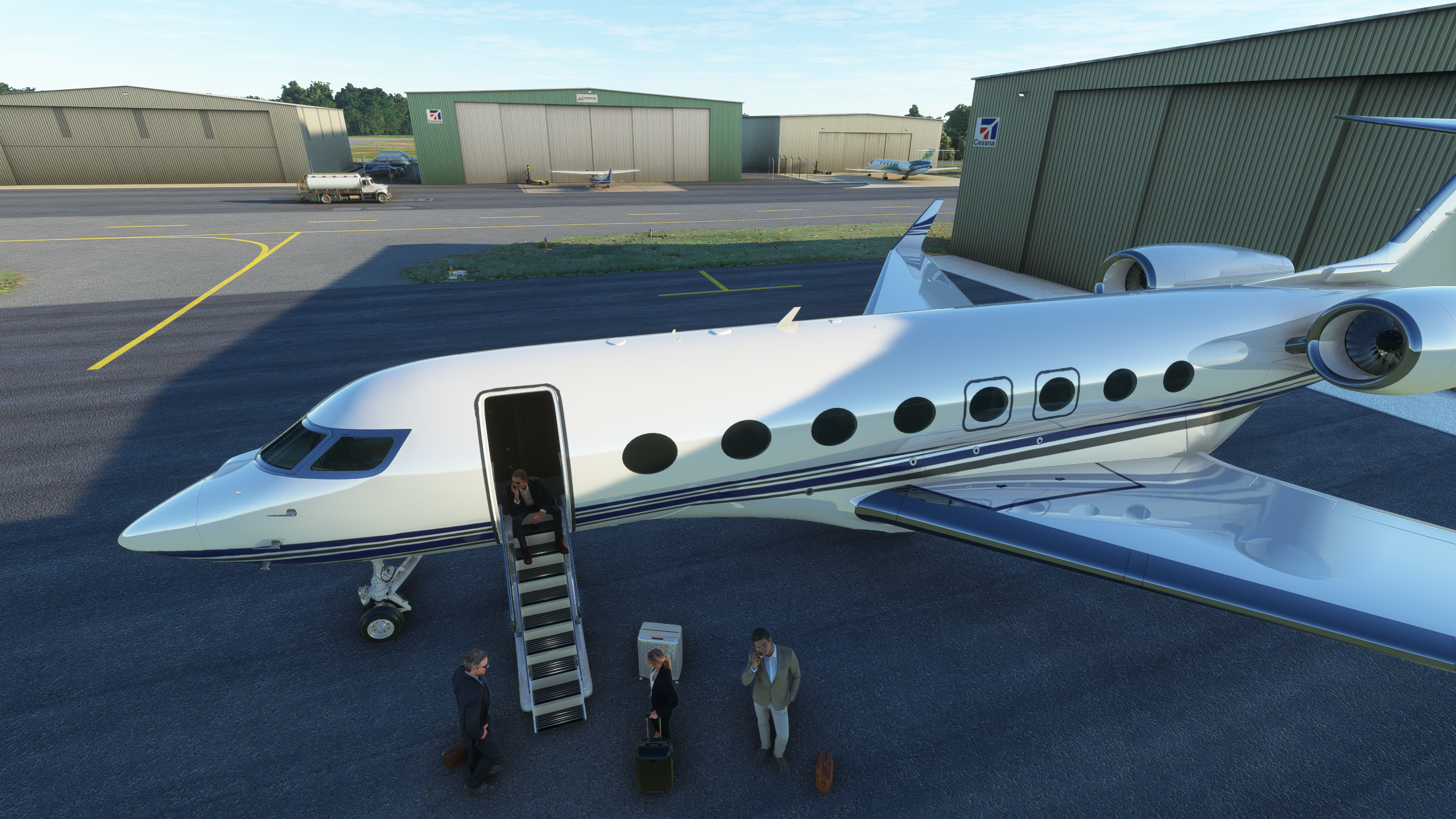
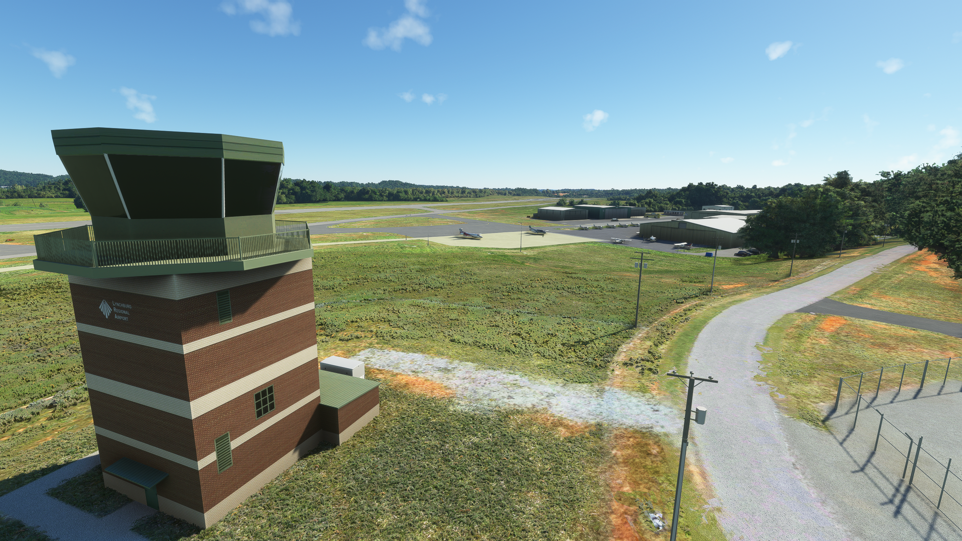
- Accurate representation of the 2022 Airport layout
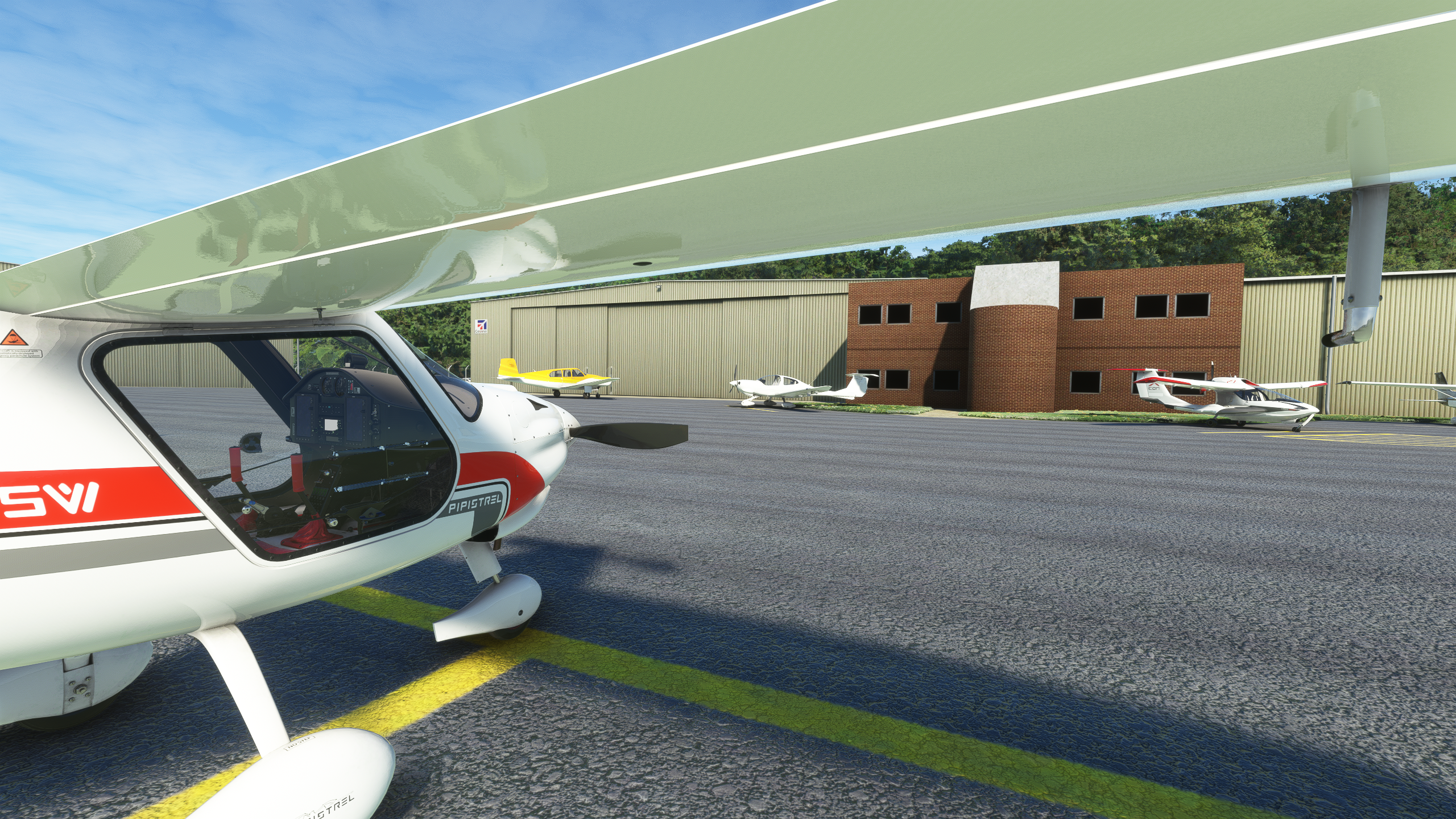
- 4K resolution textures
- Fully native MSFS scenery, not a conversion
- Custom crafted mesh to accurately represent the terrain around the airport
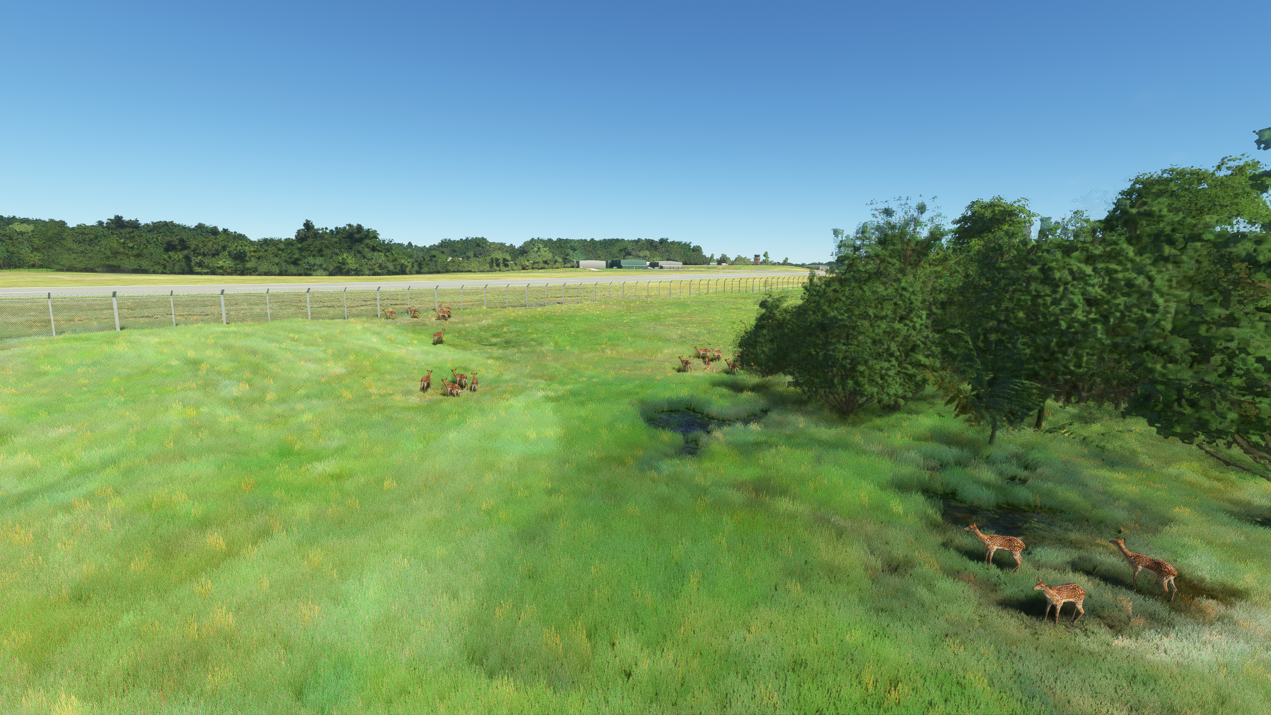
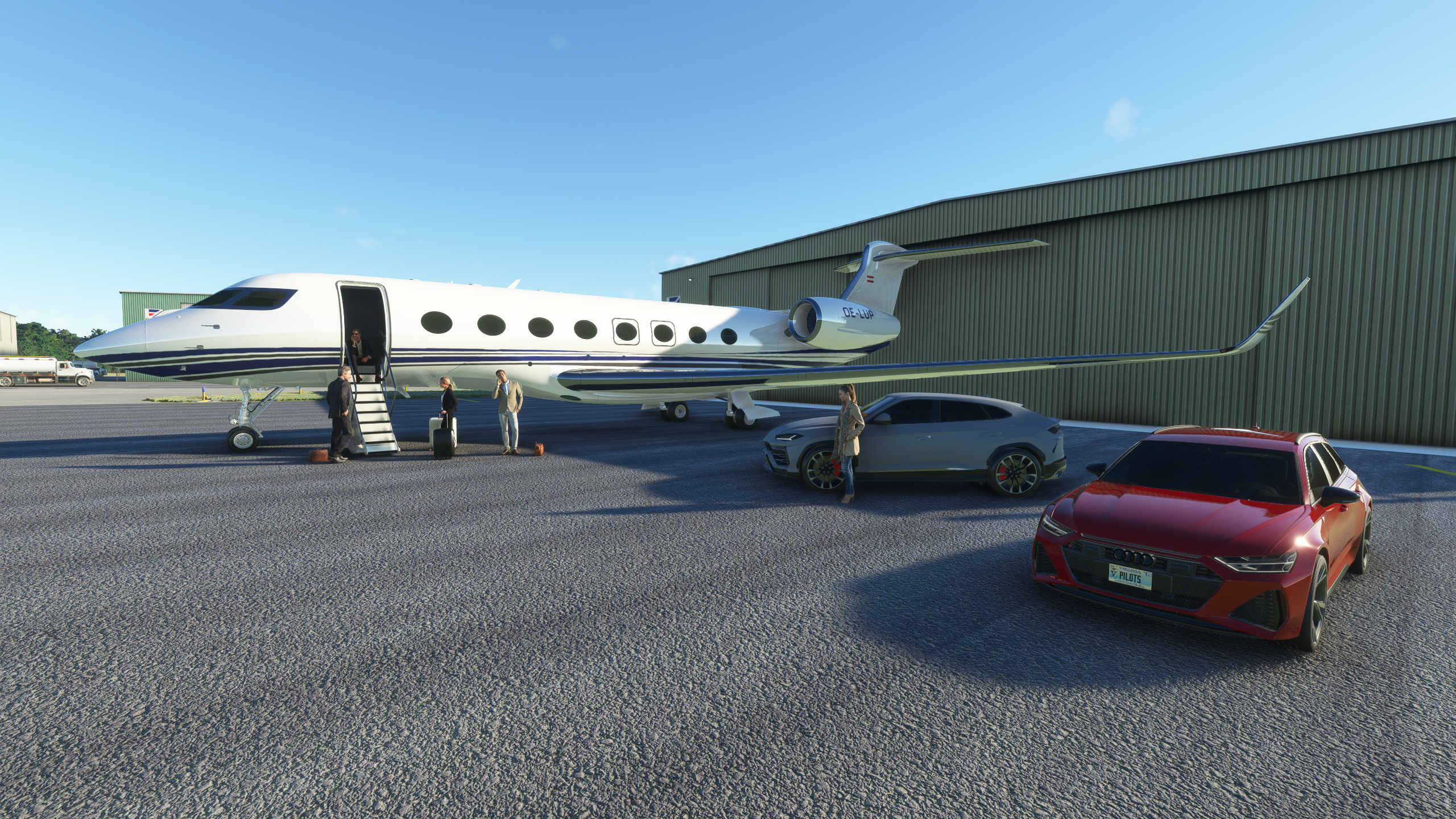
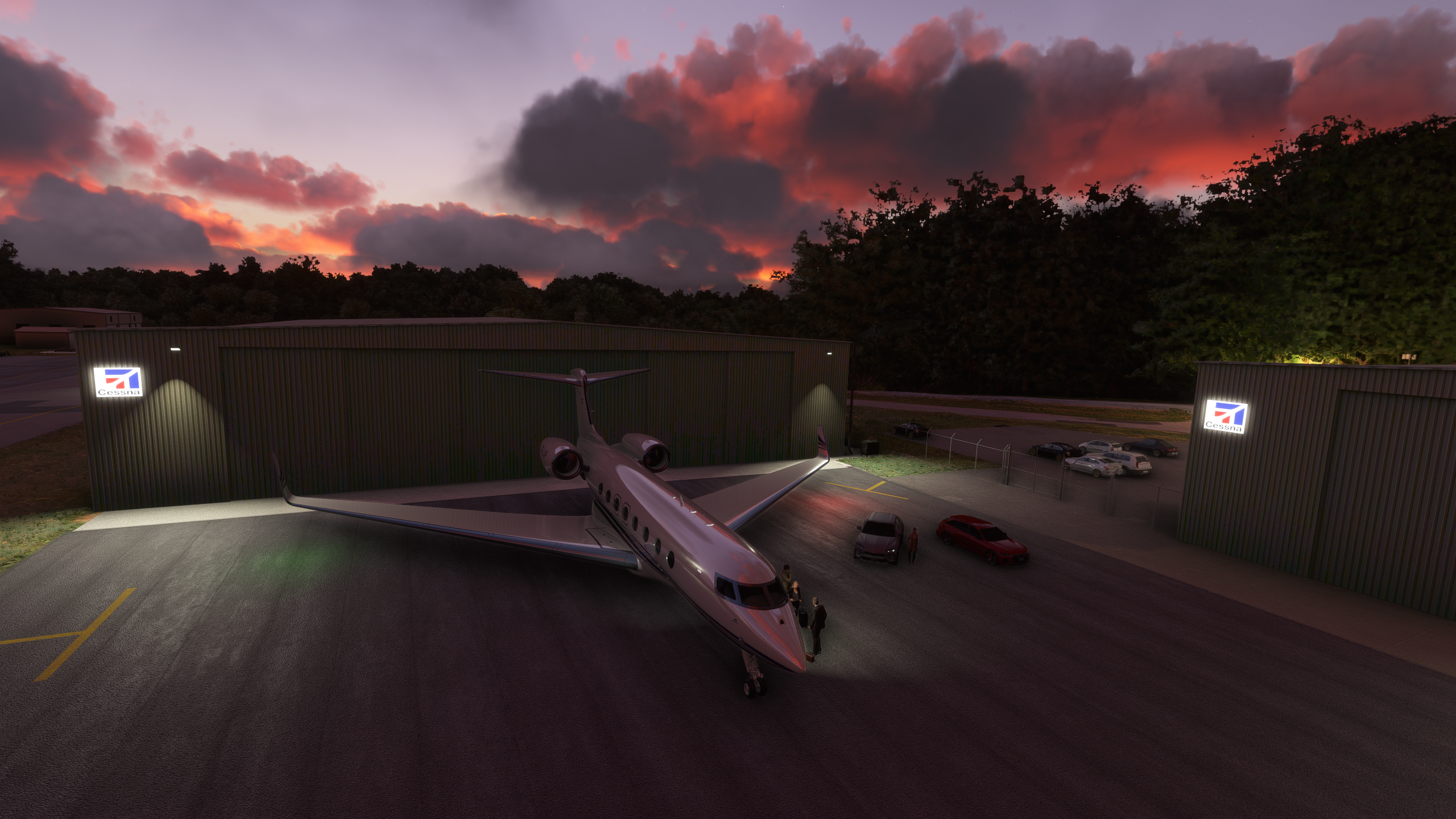
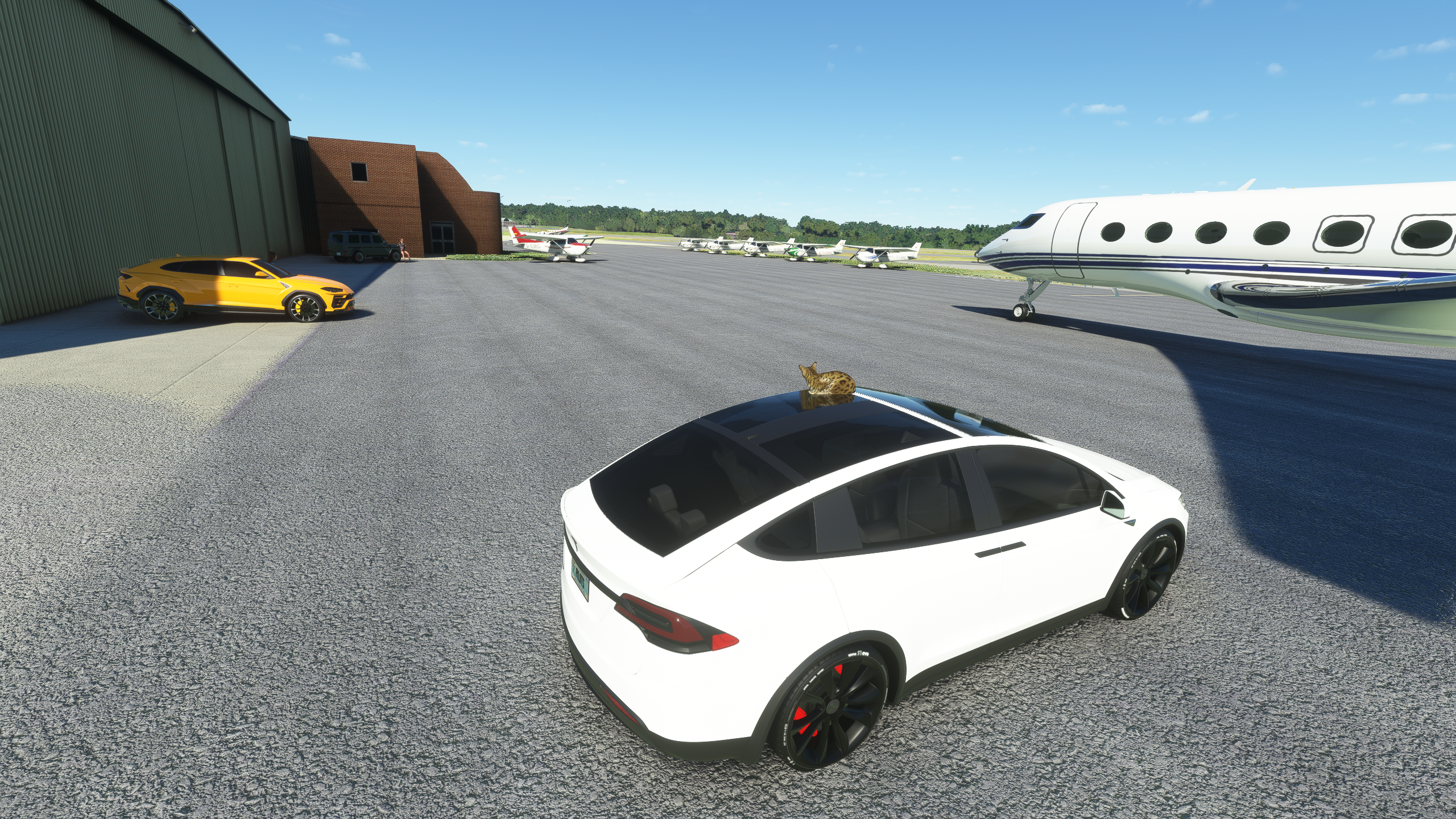
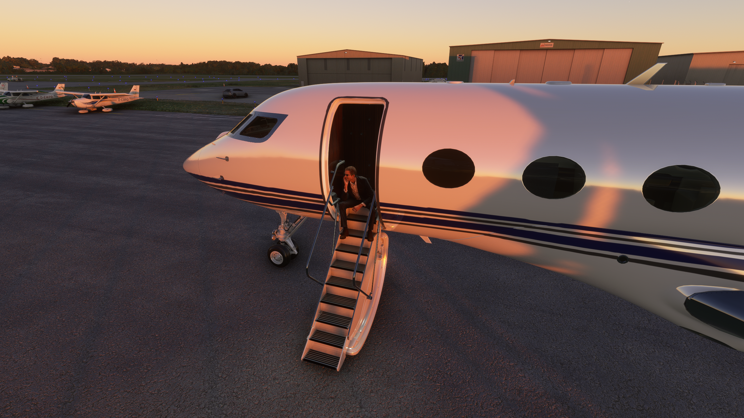
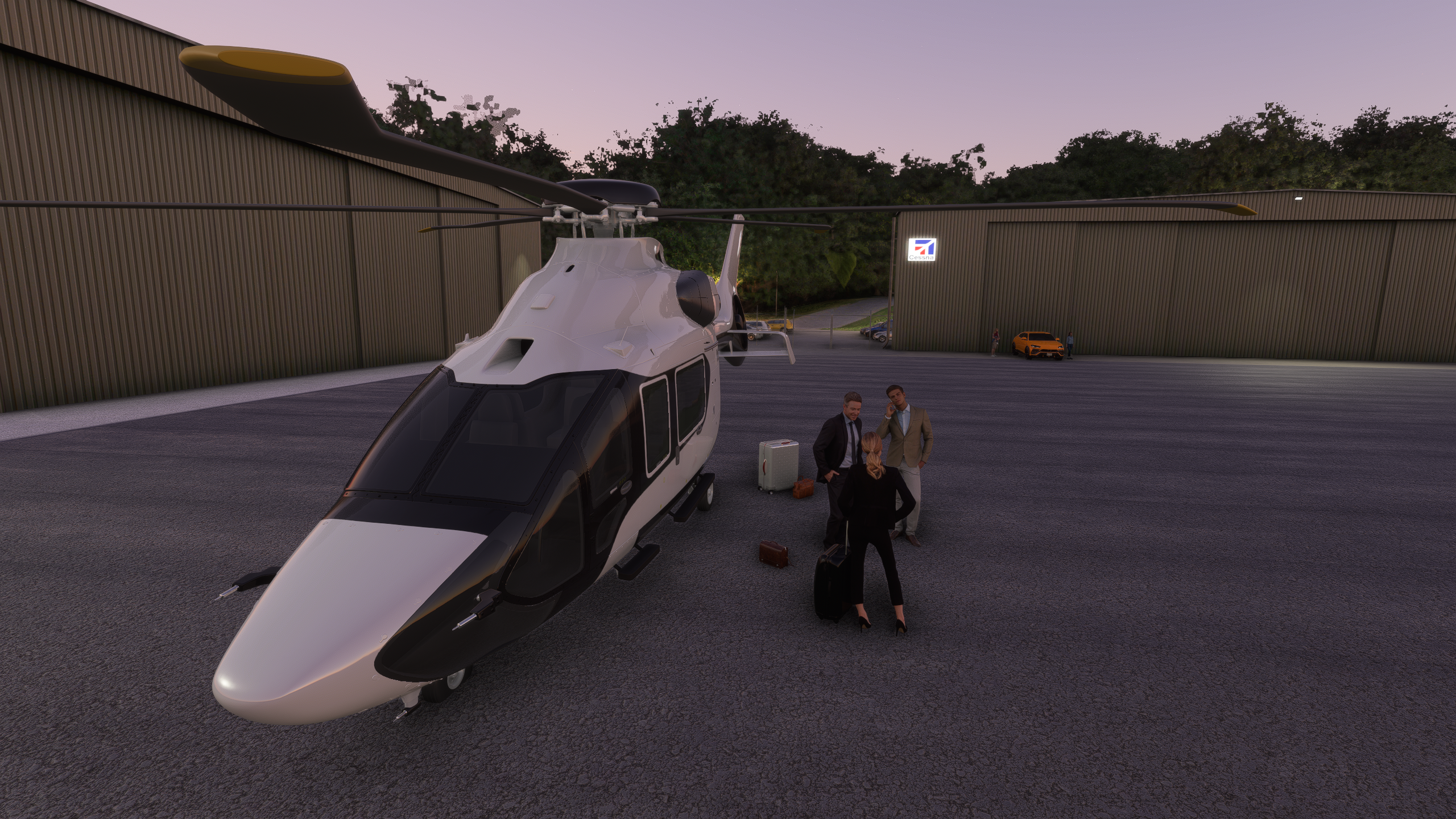
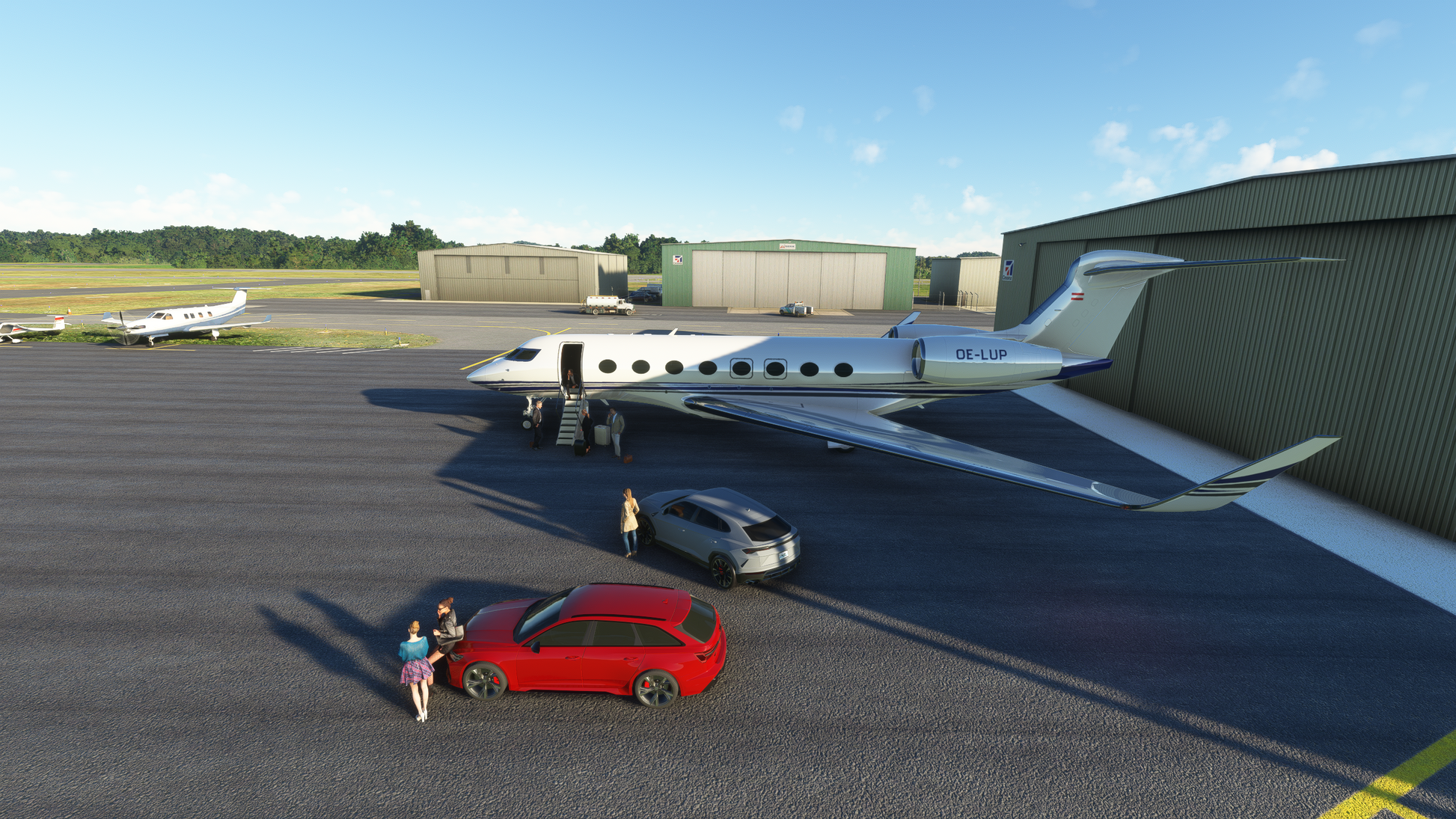
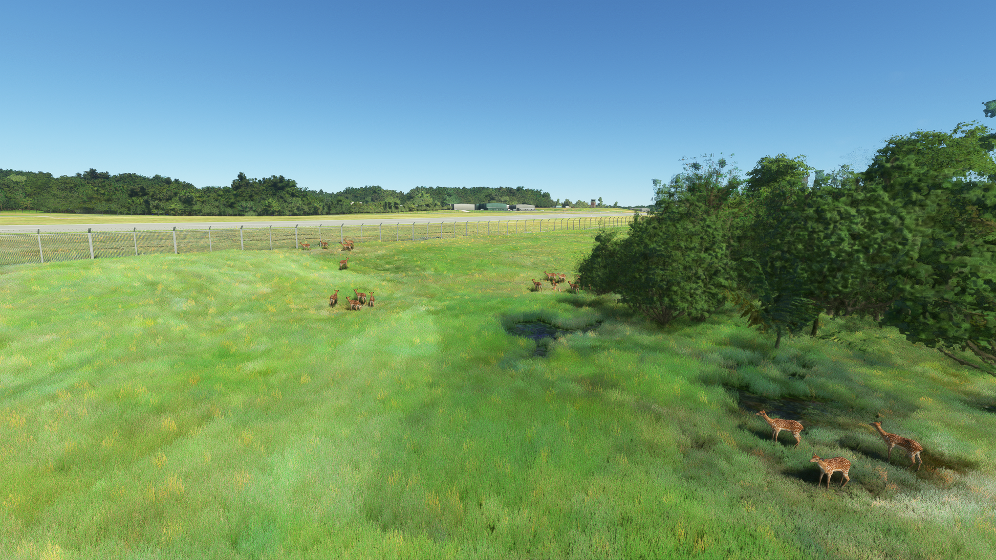
- Zeit-Dynamic scenery features create a unique and ever-changing airport environment
- 18+ square kilometers hand-crafted photoreal satellite imagery
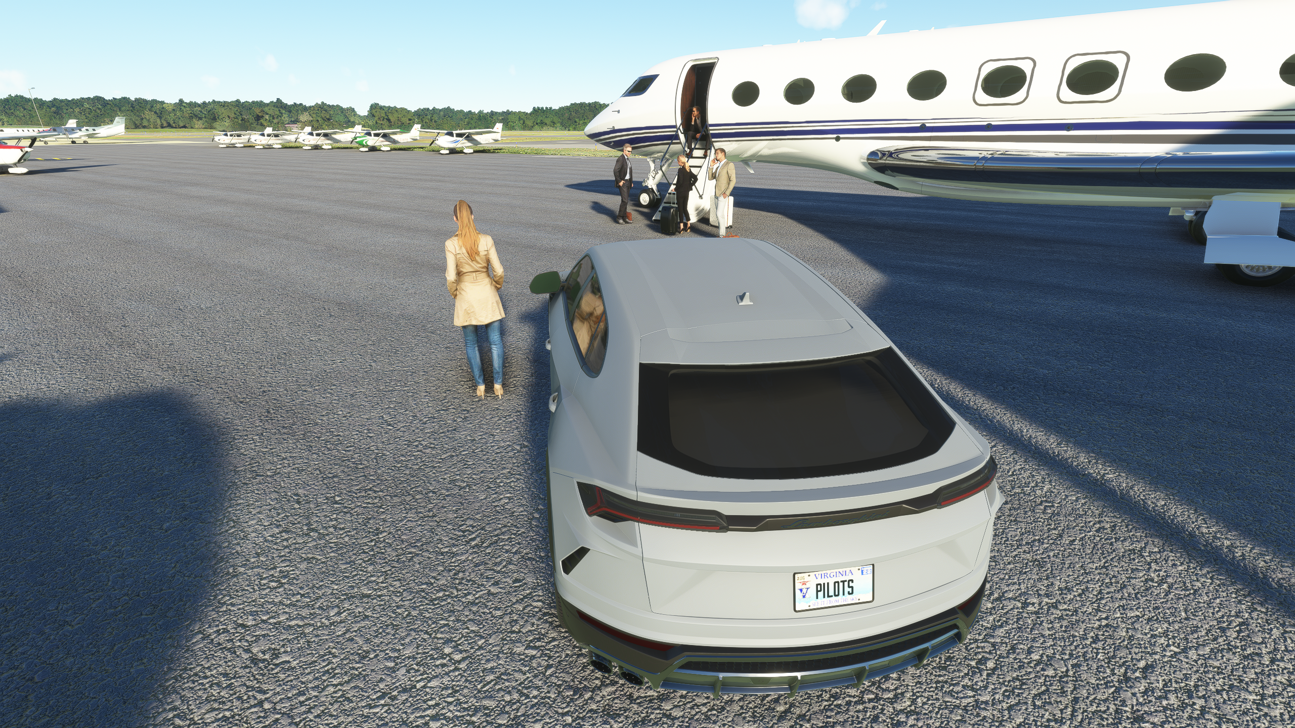
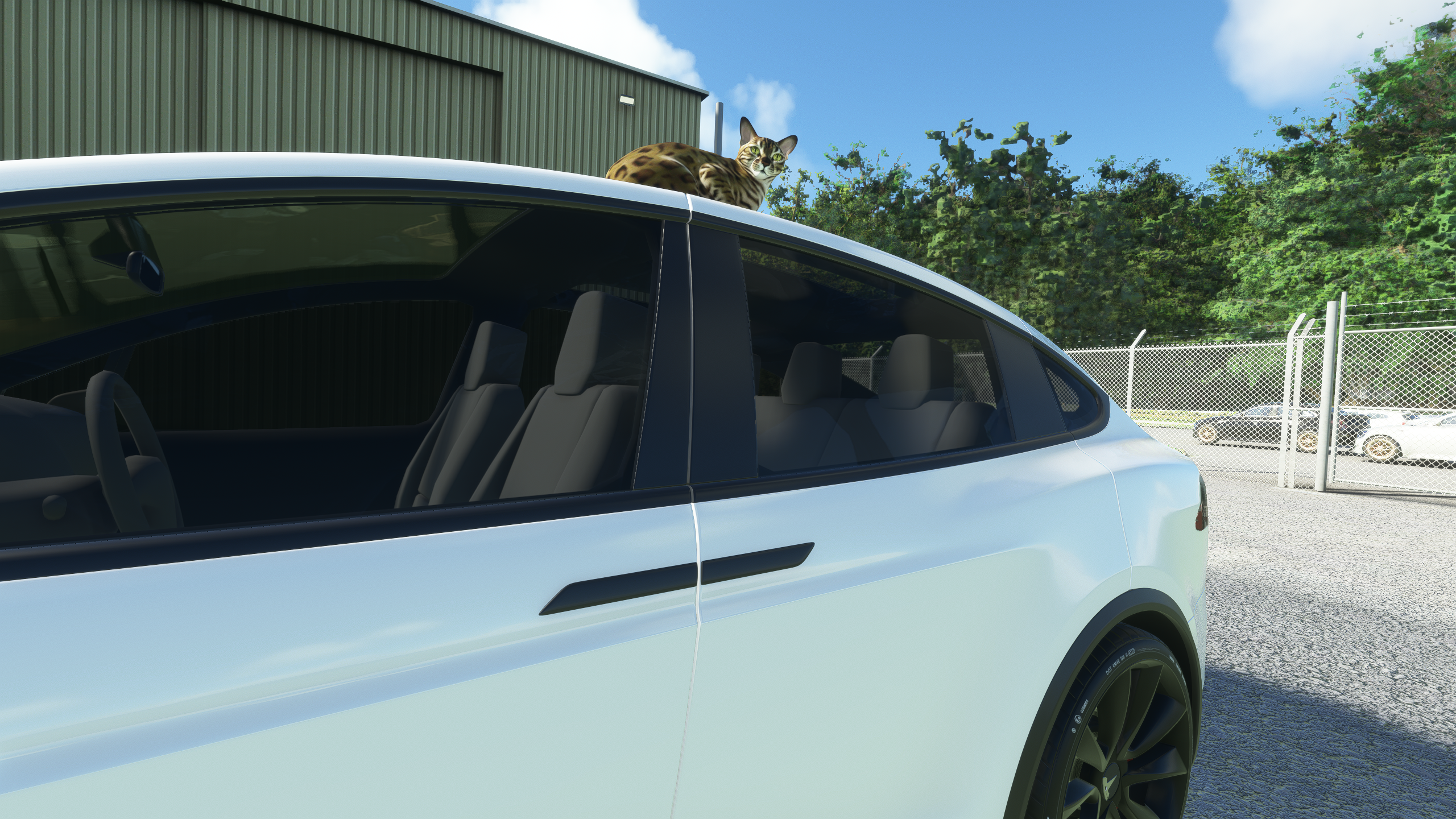
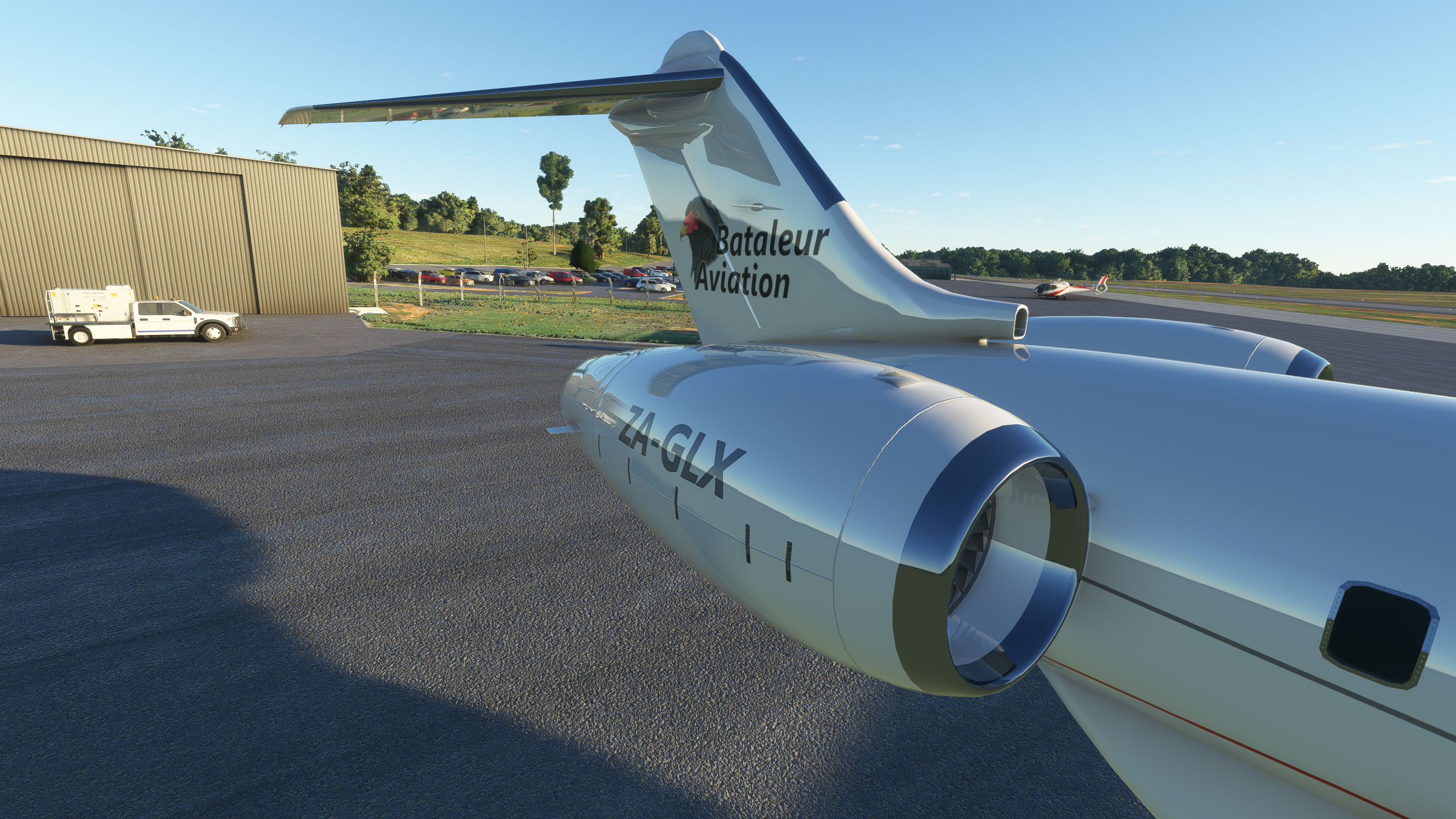
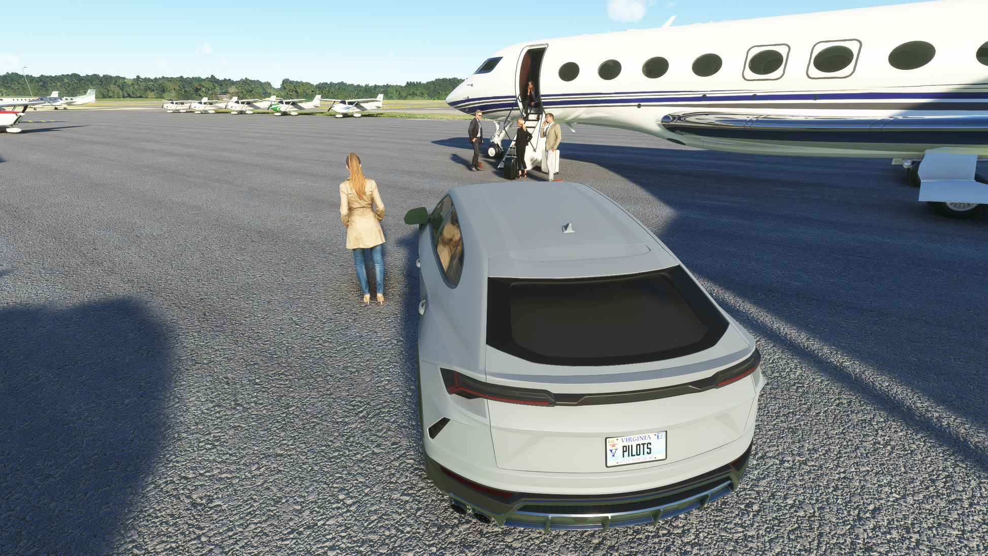
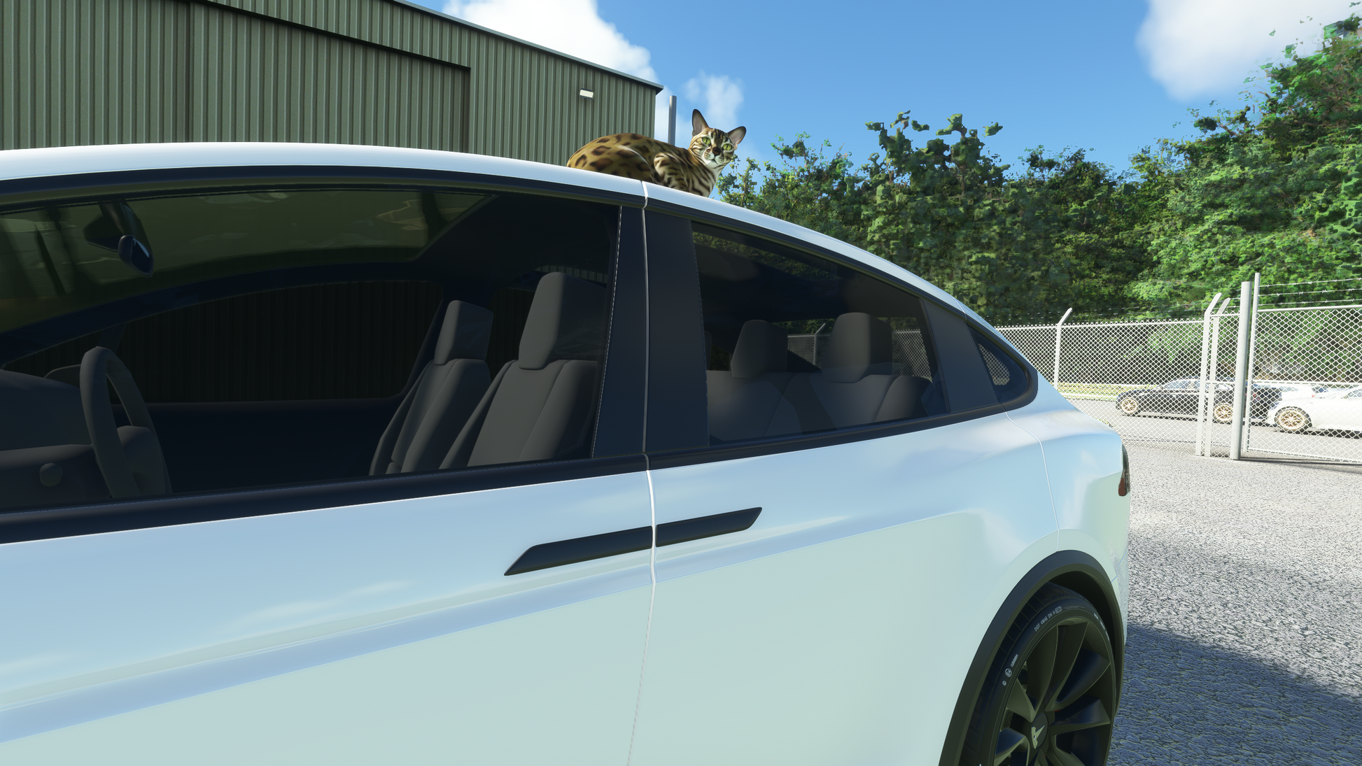
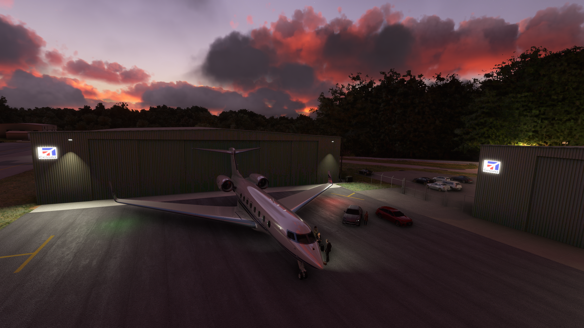
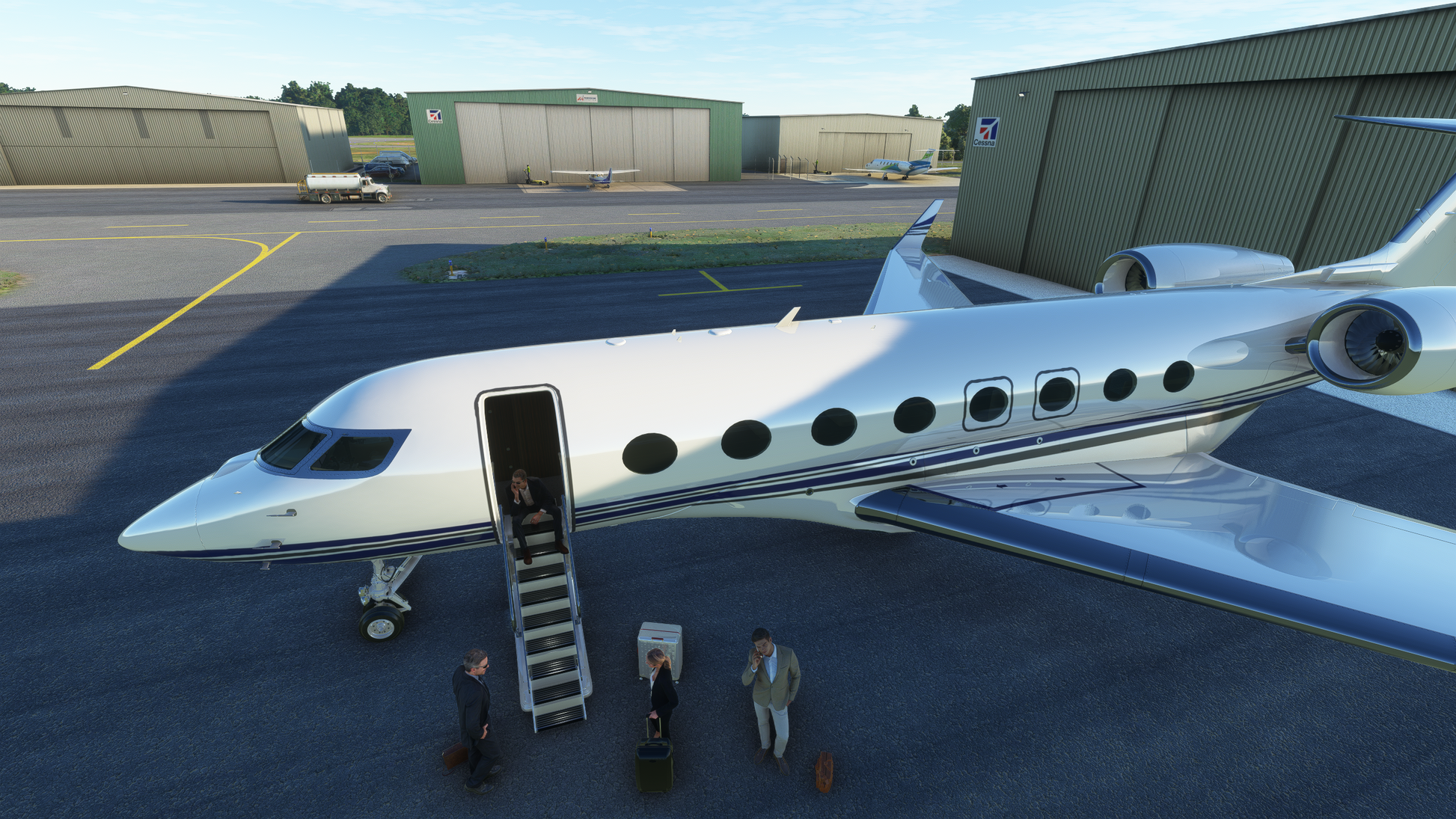
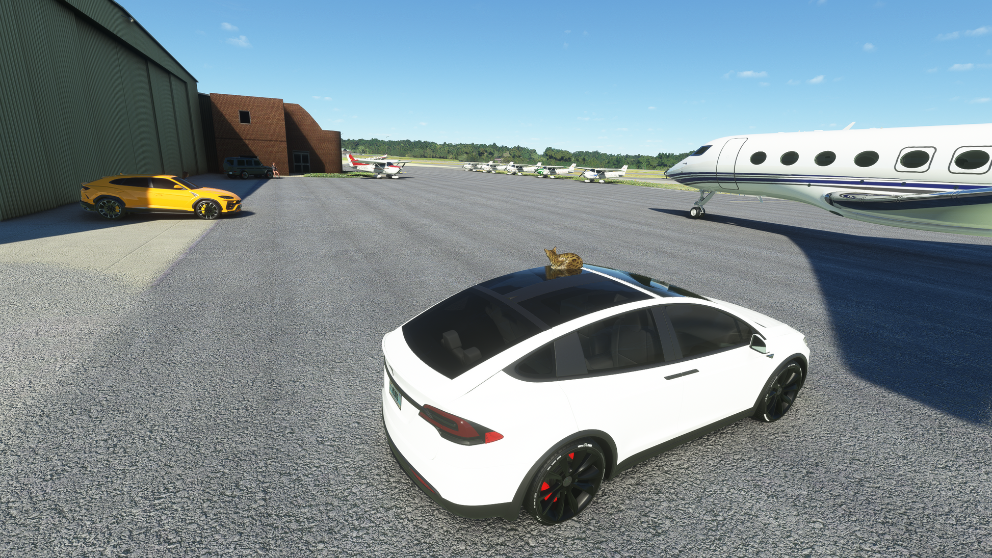
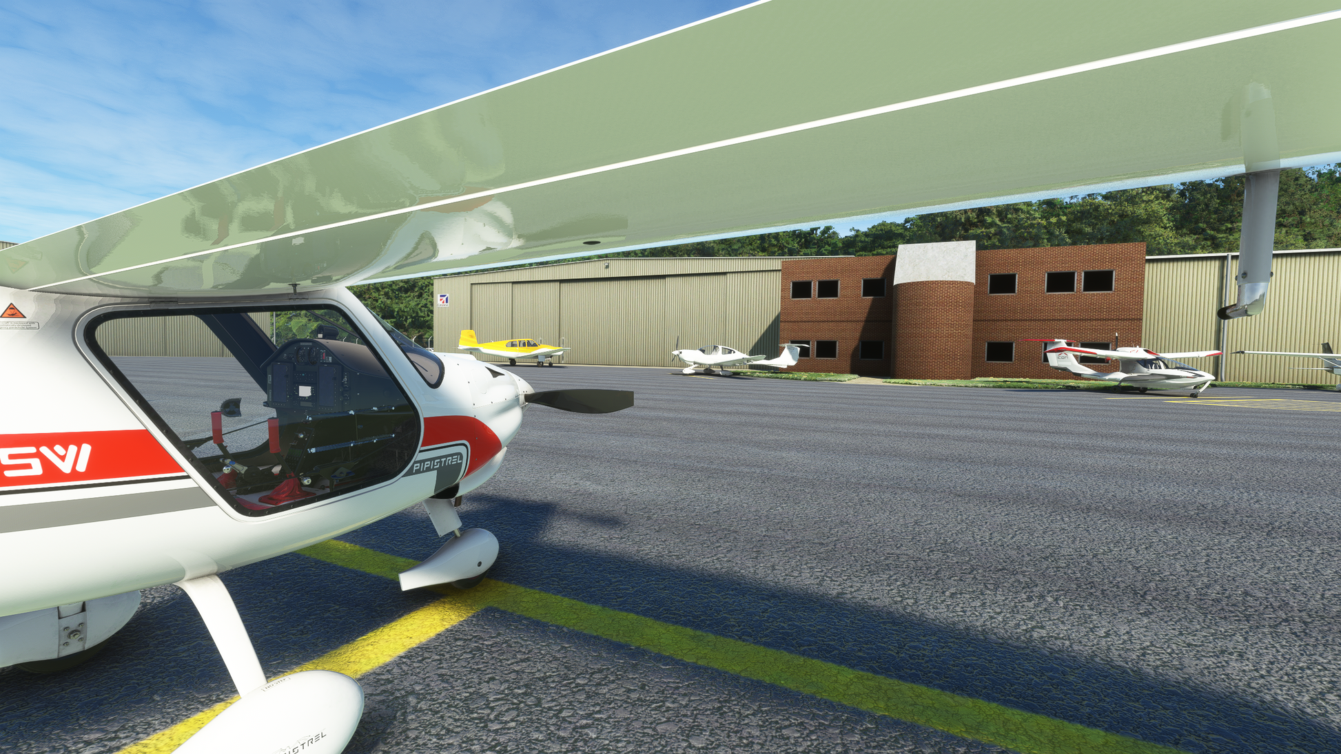
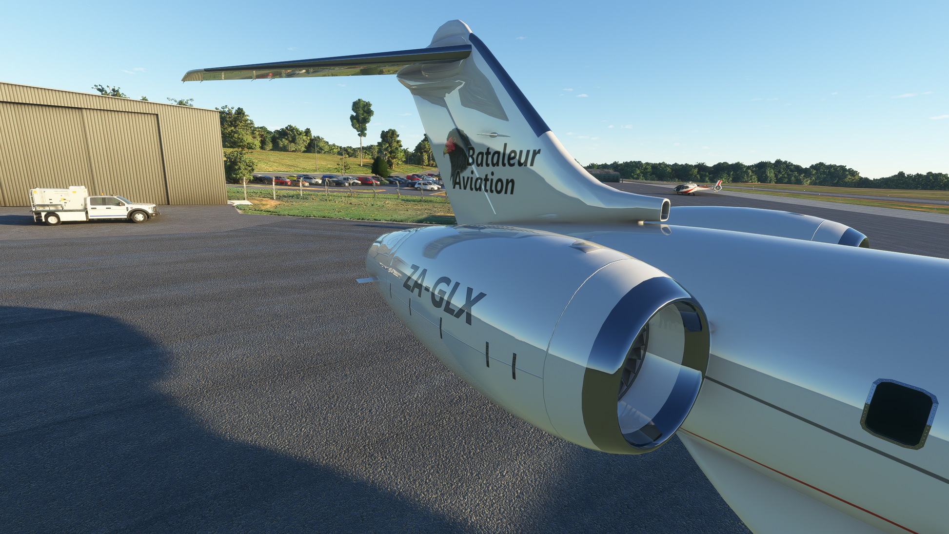
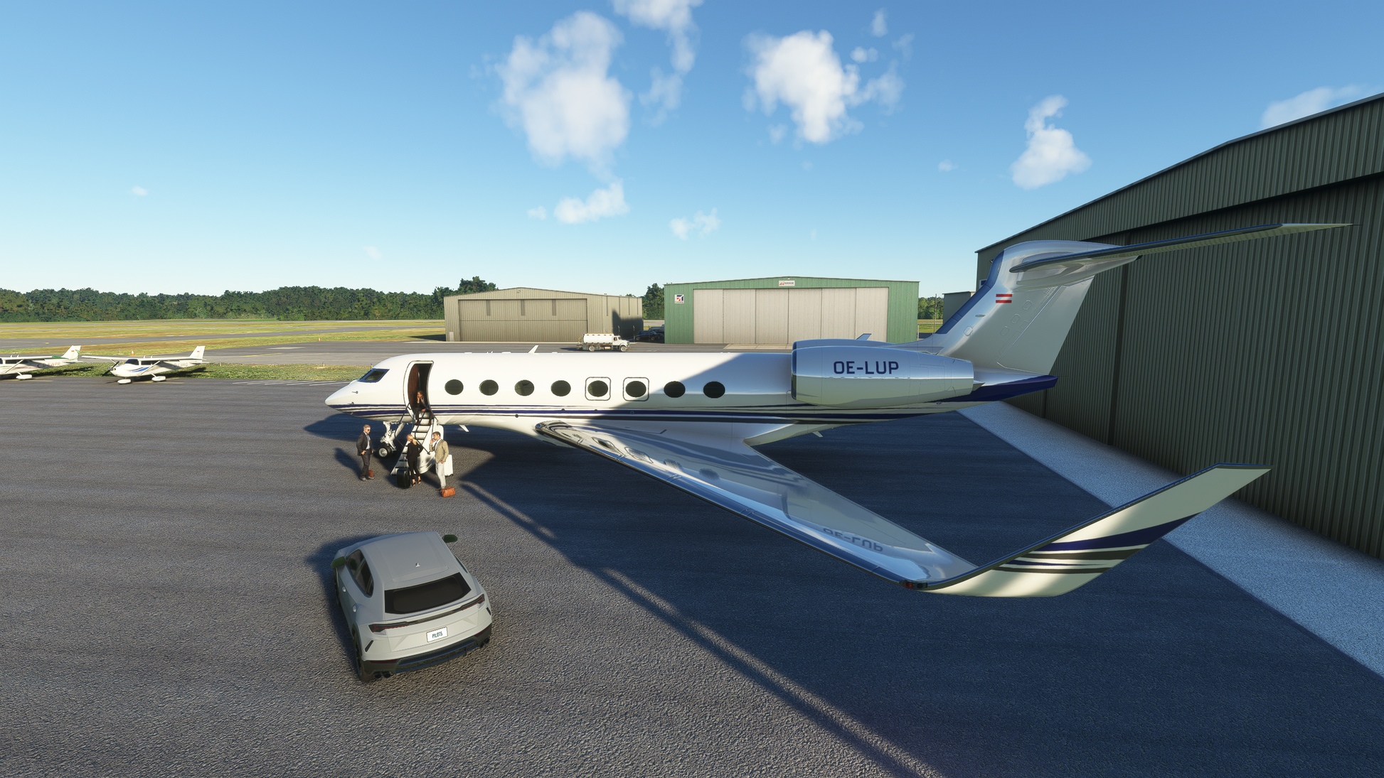
PRODUCT GALLERY
FULL FEATURES LIST
- Accurate representation of the 2022 Airport layout
- 4K resolution textures
- Fully native MSFS scenery, not a conversion
- Custom crafted mesh to accurately represent the terrain around the airport
- Zeit-Dynamic scenery features create a unique and ever-changing airport environment
- 18+ square kilometers hand-crafted photoreal satellite imagery
- Realistic shadow rendition
- Special night light shadows textures
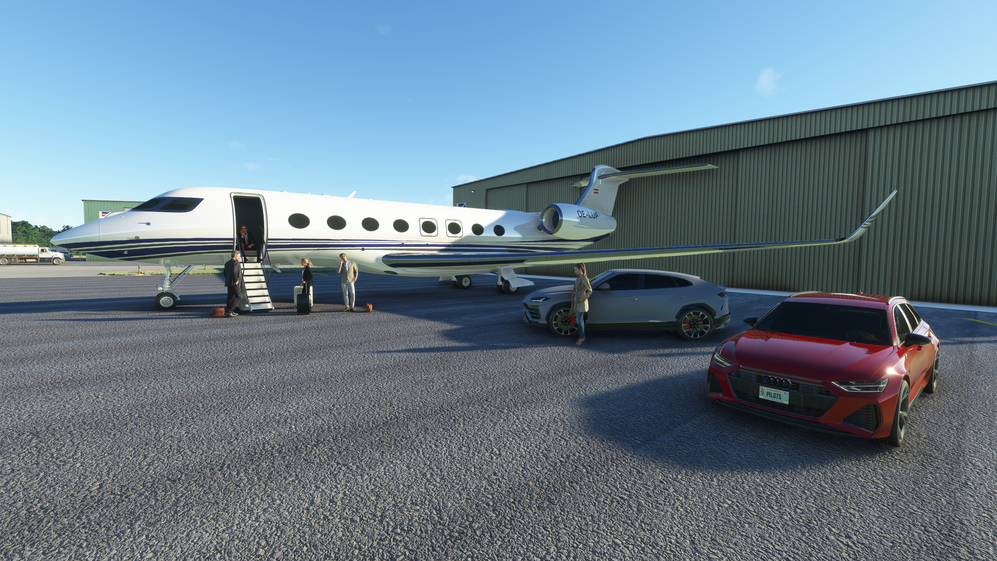
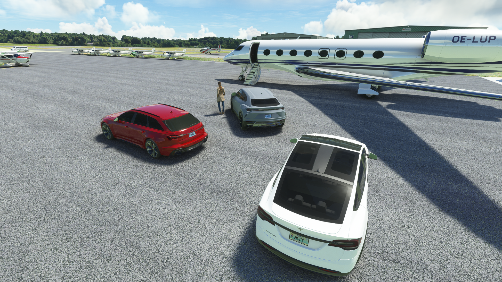
- Custom buildings for surrounding areas and lots of custom objects
- Fully optimized design for great performance and high frame rates


